

The West Coast is facing the impact of the first of two atmospheric rivers, colloquially known as a “Pineapple Express,” which arrived on Wednesday, bringing heavy rain and mountain snow. An atmospheric river, in this context, is a weather phenomenon that accumulates in the tropical Pacific and, upon reaching the western United States, results in significant rainfall and snowfall. Satellite images captured clouds stretching from Los Angeles, California, to Juneau, Alaska, as the first storm hit, showcasing the vast scale of the weather system.
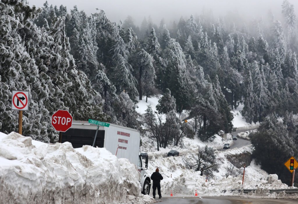
Described as a “giant firehose” by AccuWeather, the initial storm is predicted to channel substantial moisture southward through California until Thursday night. The National Weather Service forecasts heavy rain across Southern California, along with upper-elevation mountain snow in parts of Northern and Central California.
With more than 20 million people in the state under weather alerts due to the heightened risk of flooding and high winds, concerns have been raised about potential mudslides, power issues, coastal erosion, and property damage. Recognizing the severity of the situation, the California Governor’s Office of Emergency Services activated its operations center and strategically positioned personnel and equipment in areas most susceptible to risk.
While a partially dry weekend is anticipated for California residents, a second, potentially stronger storm is forecasted to hit from Sunday to Monday, according to Daniel Swain, a climate scientist at the University of California, Los Angeles.
The atmospheric river-driven storm made landfall in Northern California on Wednesday, causing brief hourly rain rates of 0.5 to 1 inch, as reported by the Weather Prediction Center. Flash flooding was anticipated along the Northern and Central California coastline, leading the weather service in the Bay Area to issue flood advisories for several counties, including San Francisco, San Mateo, Marin, and Sonoma.
The storm also triggered a high wind warning for counties along the north and central coast, with peak wind gusts observed at 60 to 70 mph. This prompted the closure of numerous parks and outdoor events across the Bay Area due to adverse weather conditions. The California Highway Patrol issued warnings to drivers on social media platforms to exercise caution on the roadways.
The Weather Service in Sacramento highlighted a 10% to 25% probability of thunderstorms, potentially causing lightning and small hail, as the storm system moved inland. Several power outages were reported by the Pacific Gas and Electric Company (PG&E), affecting areas like Redwood City and Sacramento.
AccuWeather forecasts 1 to 4 inches of rain for much of Northern California and coastal areas of Southern California. Locally, higher amounts of up to 6 inches are expected along the west- and southwest-facing Coast Ranges. Strong winds pose an additional risk to Northern and Central California, increasing the likelihood of toppled trees and resulting power outages.
As travel conditions worsen in San Francisco and Sacramento from Wednesday, residents from Los Angeles to San Diego can expect travel delays throughout Thursday.
Amidst the unfolding weather events, a viral video spreading misinformation about the storm was debunked by California state emergency officials. The video, which had gained over half a million views, was criticized for misleading residents about the severity of the upcoming storm. While acknowledging California’s history of flooding, emergency officials assured residents that basic preparedness measures would ensure their safety.
Atmospheric rivers are a crucial component of Earth’s water cycle, picking up water vapor from tropical regions and depositing it over cooler land regions as rain or snow. Responsible for a significant portion of the western United States’ extreme rain and snow events, these “rivers in the sky” can lead to flooding along the West Coast. They play a vital role in the water supply and flood risks associated with the region.