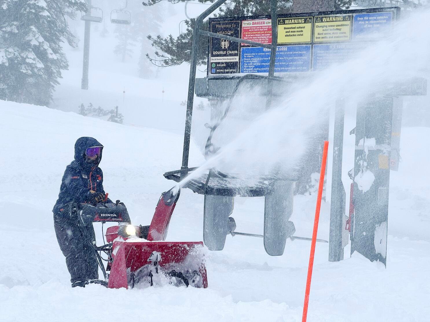
Sunday witnessed the shutdown of hundreds of miles of California highways as a potent blizzard hammered regions of the Golden State and the Mountain West, unleashing heavy snowfall and fierce winds with gusts reaching an astounding 190 mph—surpassing the 157 mph threshold indicative of a Category 5 hurricane.
National Weather Service meteorologist William Churchill issued grave warnings of “life-threatening concern,” particularly for residents near Lake Tahoe, characterizing the ongoing storm, now into its third day, as an “extreme blizzard.” Not confined solely to California, the storm’s impact extended to areas of Nevada, Utah, and Colorado.
Throughout the northern Sierra Nevada, moderate to heavy snow persisted overnight, perpetuating blizzard conditions exacerbated by persistent wind gusts. The relentless onslaught prompted the closure of more than 100 miles of Interstate 80, stretching from the Nevada border to Colfax, California. With no definitive timeline for the freeway’s reopening, hundreds of stranded travelers found themselves marooned in their vehicles, while over 300 vehicles succumbed to being immobilized. Meanwhile, a significant number of homes and businesses, tallying over 7,800, remained without power, marking the aftermath of the storm’s destructive force.
A stern advisory issued by the California Highway Patrol in Truckee urged residents to remain indoors, stay warm, and avoid putting themselves and their families in perilous situations. Similarly, the CHP office in South Lake Tahoe emphasized the necessity of tire chains for navigating through mountainous terrain, where snow accumulation exceeded 7 feet over the weekend.
As the snowfall persisted into Sunday, meteorologists anticipated the arrival of a secondary system, forecasted to add another 1-2 feet of snow at higher elevations on Monday and Tuesday. While the prospect of additional snowfall loomed, Alan Reppert, a senior meteorologist at AccuWeather, reassured that such storms, though infrequent, were not unprecedented for the region and were unlikely to set new records.
Blizzard warnings remained in effect for elevated areas above 6,500 feet, accompanied by winter storm warnings for lower elevations. The Sierra region anticipated up to 12 feet of snow accumulation by late Sunday, according to the Weather Prediction Center.
Despite the challenges posed by the blizzard, ski resorts eagerly anticipated the snowfall, albeit with operational disruptions. Palisades Tahoe resort encountered wind gusts of 190 mph, hampering efforts to resume normal operations. Similarly, the Sugar Bowl resort, despite receiving over 7 feet of snowfall, endeavored to reopen while warning patrons of potential delays due to ongoing avalanche mitigation efforts.
In the eastern Sierra, Mammoth Mountain Ski Area remained closed as ski patrol grappled with wind speeds reaching up to 70 mph. Despite accumulating over 3 feet of snow over three days, the resort faced logistical challenges that hindered its reopening.
Elsewhere in California, a rare occurrence unfolded as two tornadoes touched down on consecutive days in Central California, a phenomenon attributed to moisture from a winter storm. While the tornadoes caused minimal damage in Corcoran and Madera County, they underscored the unpredictable nature of weather events in the region.
